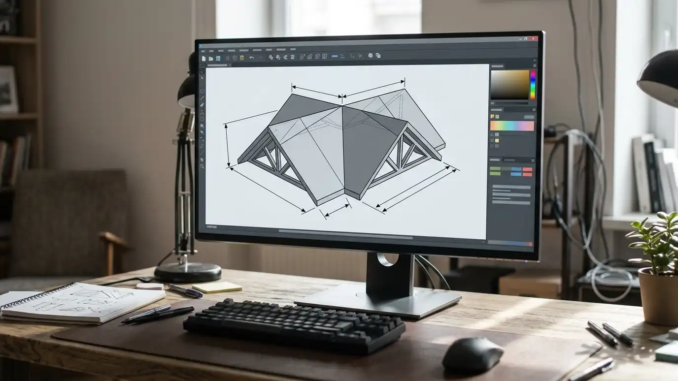
A mapping tool that shows satellite imagery, 3D buildings and measuring tools for places around the world.
Google Earth describes itself as a way to explore the world with satellite imagery, 3D terrain and measuring tools. Owners in Nashville can use it to look at their roof from above, spot trees overhanging the house and estimate roof sections and distances. It is a handy starting point for conversations about roof shape, orientation and access.
We are an independent company and are not affiliated with Google. Imagery may be out of date and measurements are approximate, so we always measure on the roof before ordering materials. If you are curious about the tool, the official site has details, and we are glad to look at screenshots you send before a visit. Mapping tools help us prepare, and a real inspection finishes the job.
Visit the official Google Earth website
See your roof from above.
Spot overhanging branches.
Estimate lengths and areas.
Older imagery may show past changes.
Always confirm on the roof.
We use many tools.
 Pre-Sale and Buyer Roof InspectionsRoof inspections for people buying or selling a home, with clear notes on condition, repairs and replacement timing.Explore
 Permit and Code GuidanceHelp finding out which permits, inspections and code rules apply to your roofing, siding or gutter project, and…Explore
Size a roof, check its age or ballpark a budget.
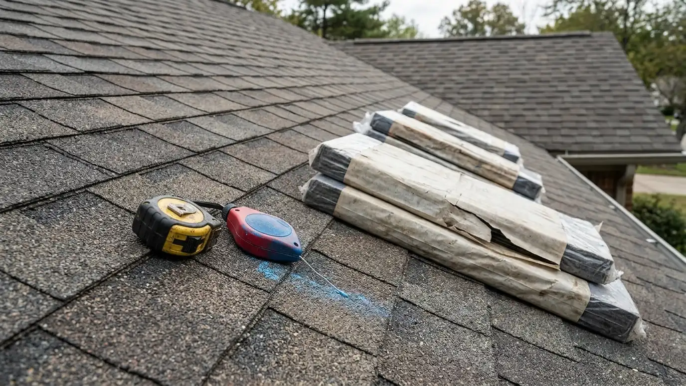 Roofing, Siding and Gutter Size CalculatorEnter your measurements to see roof squares and shingle bundles, siding area and gutter lengths to plan for.Try it
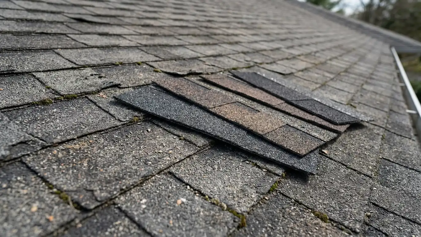 Roof Age and Replacement Timing CheckerPick your roof material, age and warning signs to see a general replacement outlook and what to do next.Try it
 Roof Replacement Budget PlannerPick a roofing, siding or gutter project, set the size and add extras to see a ballpark planning range. Placeholder values only.Try it
You can estimate, but we measure on the roof for accurate scopes.
Not always. Dates vary by area.
No. We are an independent roofing company, and Google Earth is a trademark of its owner. We work with many products and are glad to install the one you prefer.
 ResourceNRCAA national trade association for roofing contractors that publishes technical manuals, training material and industry news.Learn more ResourceTARCA statewide association for roofing contractors and suppliers that shares education, news and legislative updates for the Tennessee…Learn more ResourceARMAA trade association of asphalt roofing manufacturers that publishes technical bulletins and homeowner information about asphalt shingles.Learn more
 ResourceFORTIFIED RoofA voluntary roof construction standard from the Insurance Institute for Business and Home Safety, designed to strengthen roofs…Learn more
Call us and describe your roof, siding or gutters. We will look at your property, talk through options and give you a clear written estimate.